
What is Mapping?
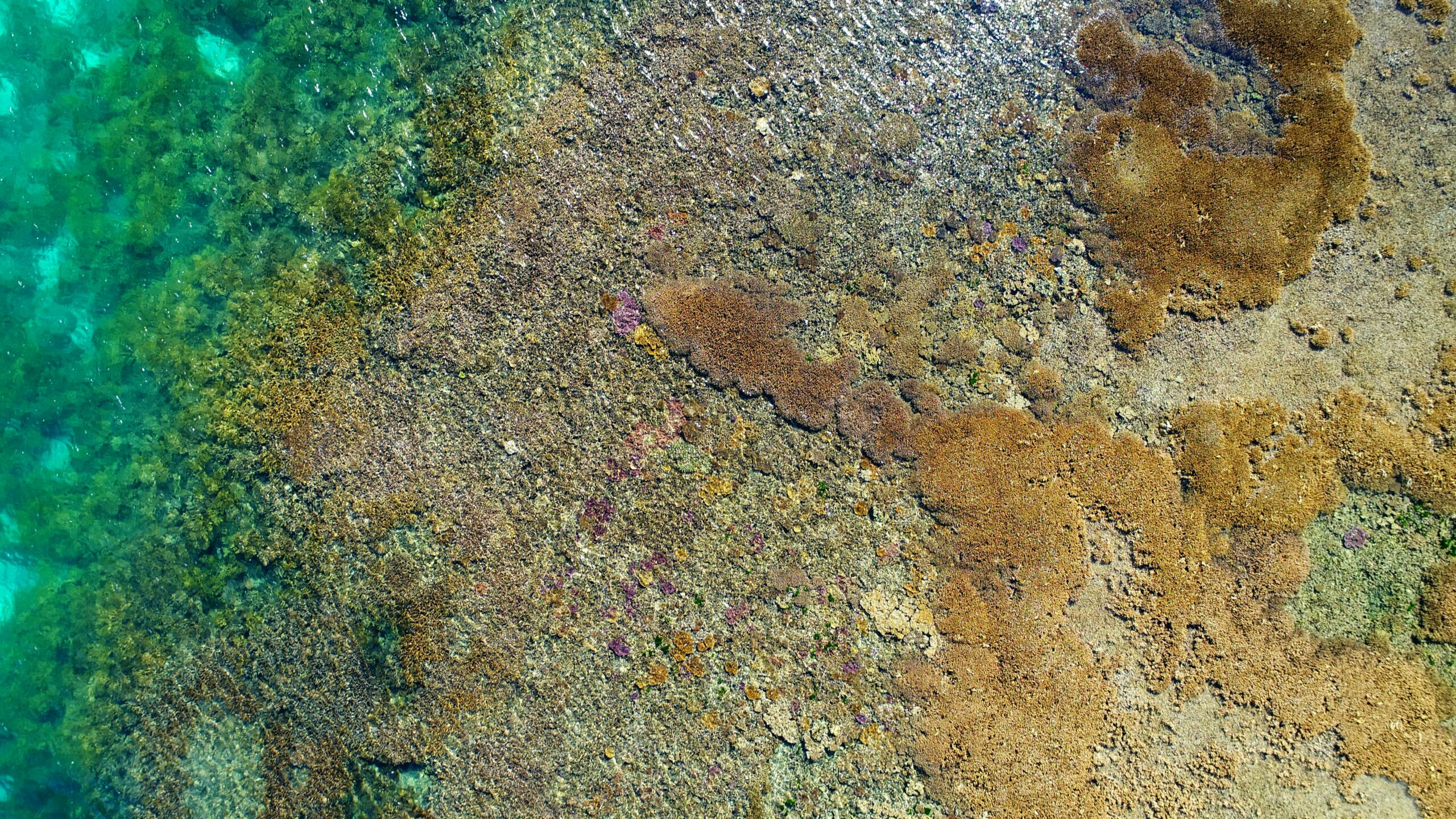
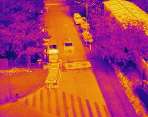
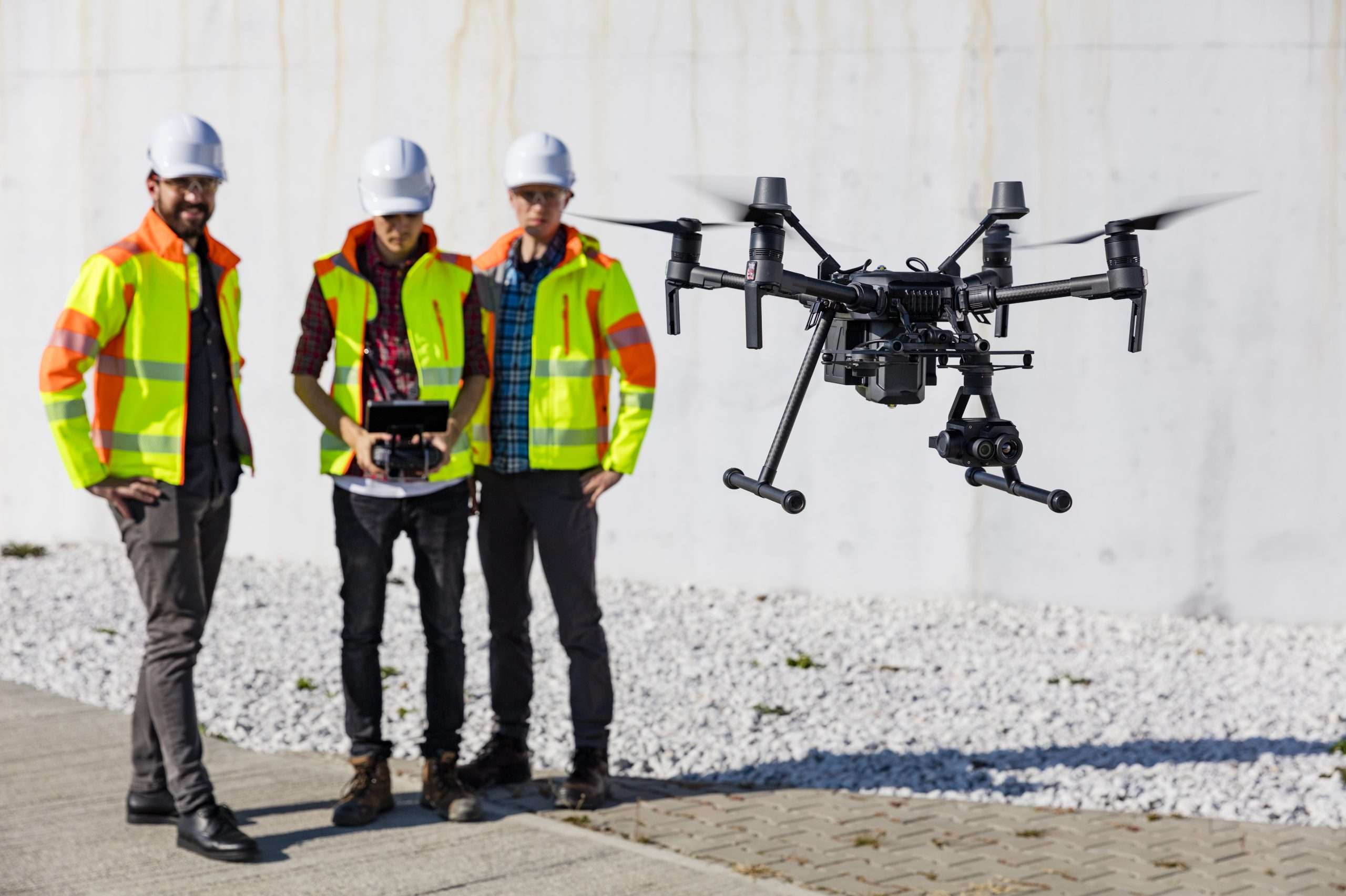
Mapping in its most basic state is an aerial survey conducted by a drone and camera, this type of mapping is referred to as photogrammetry. Not limited to just using a camera, other sensors can consist of multispectral, thermal or LiDAR sensors. In an attempt to not confuse you, we will just stick to the camera obtaining the data for now and explain a little more. Remote Piloted Aircraft (RPA) have long proven as a suitable technology for providing very high spatial and temporal resolution data for map creation and updating that is a valuable resource for various activities. Lets take a closer look at the break down of how this is performed, as mentioned before in its most basic state photogrammetry is utilised for mapping but if the area is larger than one image and more images are needed to be able to piece the jigsaw together, then the photogrammetry is structured into a many orthophotos from these a map that is readable and can have accurate measurements taken from it is produced with specialist software, the end result is referred to as a Orthomosaic map. Orthomosaic maps offer a photorealistic representation of an area that can produce surveyor-grade measurements of topography, infrastructure, and buildings. Each orthomosaic map is made up from dozens of orthoimages (orthophotos). Orthomosaic maps can be utilised for urban planning, private development concept artwork or even used in real estate to provide detailed, interactive maps of properties, which help realtors in their efforts to sell them. An orthomosaic map made for real estate purposes could be of a small area, such as a house, or it could cover thousands of acres of property.
Now, I have been asked many times and maybe your thinking the same thing right now “Why not just use google maps?”. To put it simply, the resolution is terrible, not to mention that it may be a matter of years since the area of interest had been updated and of course if it is a new development there would be little to none imagery held at least at a google street level, mainly due to the fact that the streets had not yet been made. Below we see a small image offering the blurry image provided by google maps and the imagery from a drone.

The process used to produce an orthomosaic is a very resource hungry computer program. Coffs Coast Aerial Drones Services has a machine specifically made for processing map datasets. The resource that is required the most is the computers RAM. The standard laptop or office desktop would have around 16gig of RAM. Our machine has 64gig of RAM with a provision to extend that to 128gig of RAM. Another advantage of processing map datasets in-house is to ensure the security of the dataset when the need arises. Another end product that is able to be produced is a point cloud file which is essentially a 3D image that can have texture applied to it. The applications are wide and varied. Increased accuracy is achieved via a RDK unit bringing drone mapping into line of above surveying requirements.
If you require geospatial mapping or are a surveyor who wishes to utilise this service provision, please do not hesitate to get in contact with our team.
Below is a quick video from Dronegenuity about orthomsaic