Agricultural intelligence & aerial sensing.
Aerial sensing in agriculture enables accurate, data-driven decisions and variable output control — reducing input costs while still maximising yield and profit. Here's how the sensors we operate change the equation for growers.
Sensors that see what the eye can't
Where a walk-through catches the obvious problem after it has developed, a multispectral sensor flying overhead reads bands of light (including near-infrared) that a stressed plant reflects before the visible sign appears. Combined with radiometric thermal — which measures actual temperature per pixel — the two together can pick up water stress, pest and disease pressure, and irrigation faults early.
Variable-rate application
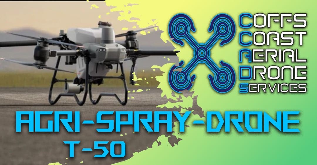
The value of that early detection compounds when the resulting prescription map feeds an aerial spray drone. The T-50 accepts zone-by-zone rate changes, applying more where the crop needs it and less where it doesn't — up to a 30% reduction in herbicide and fertiliser use on the same paddock.
Records for compliance
Every flight produces an as-applied record and a coordinated dataset that becomes part of your on-farm records — evidence of what was flown, when, and to what specification.
Related services: Multispectral, Radiometric Thermal, Agri Spray Drone.