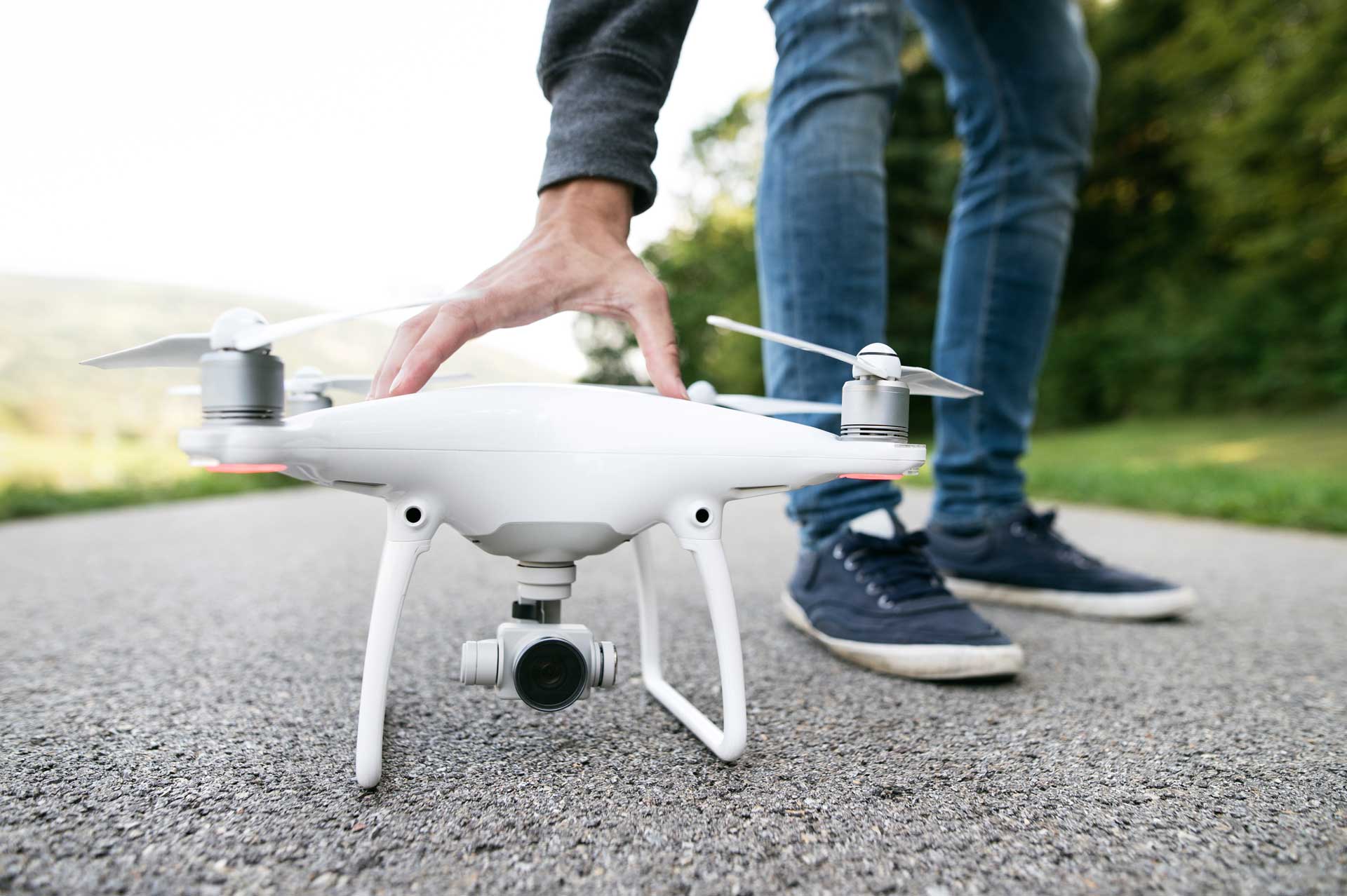
Drone Safety
Priced to suit most budgets it’s of no surprise that the popularity of drones continues to rise. according to the civil aviation safety authority (casa), record numbers of Australian’s now own and fly drones regularly.
The aviation laws apply to all pilots and drones and have significant penalties enforced if broken.
Don’t fly by the seat of your pants
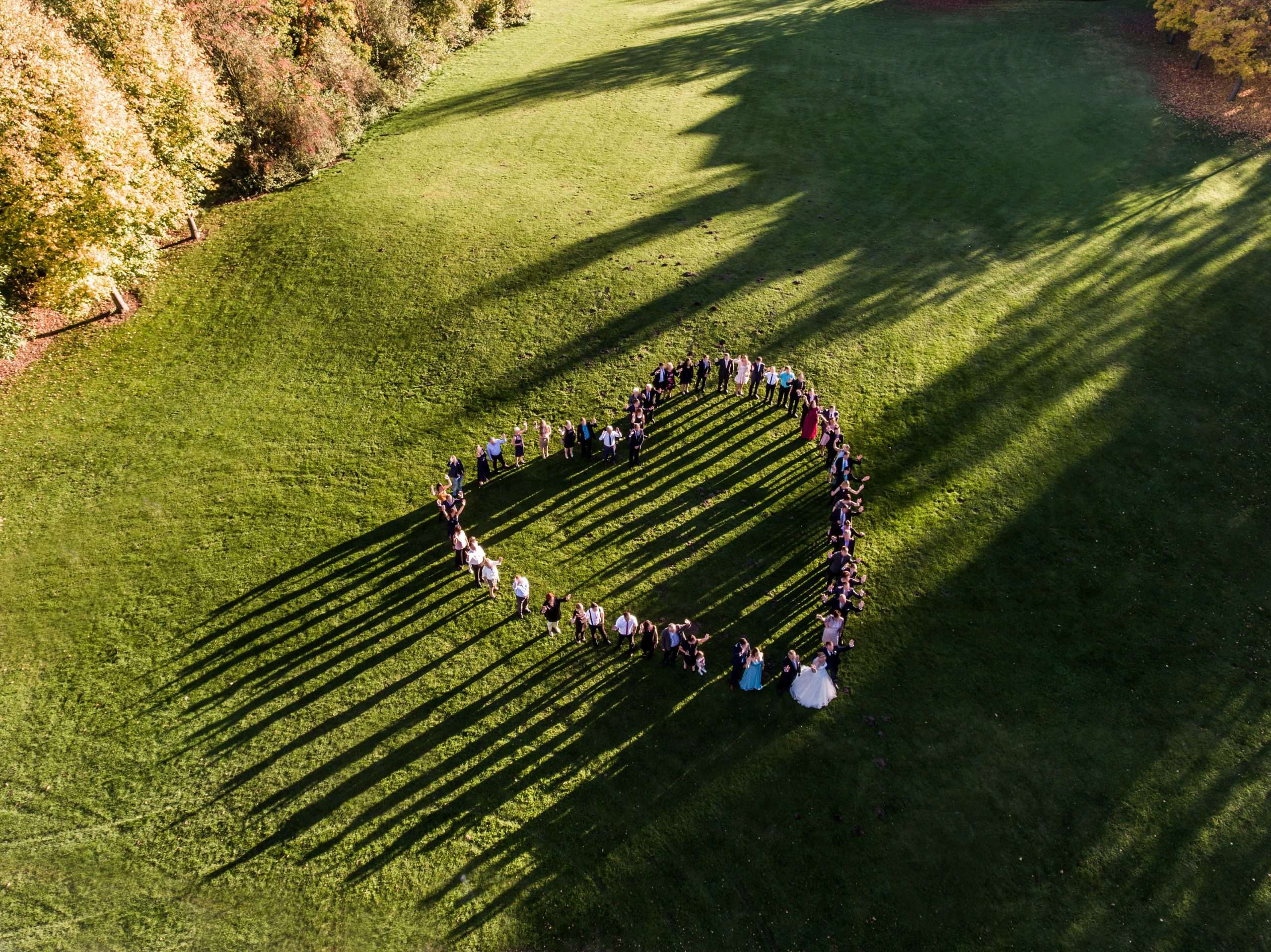
Events and Special Occasions
The raw emotion of a beautiful moment frozen in time ensures your most treasured memories will never fade of that special day. Captured in high resolution and delivered digitally means those memories will live on forever without the fear of printed photos or film degrading over time. CASA has set very specific rules in how a pilot operates with an emphasis on safety. This is also one of our biggest objectives. Talk to us about what additional measures we take to ensure your safety whilst we capture that special moment for you.
Surveying and Geospatial Mapping
Geospatial Mapping is a form of spatial analysis technique to use geographical information to assist in mapping out new data. Ideal for property developers or surveyors who require accurate high resolution data in a hurry.
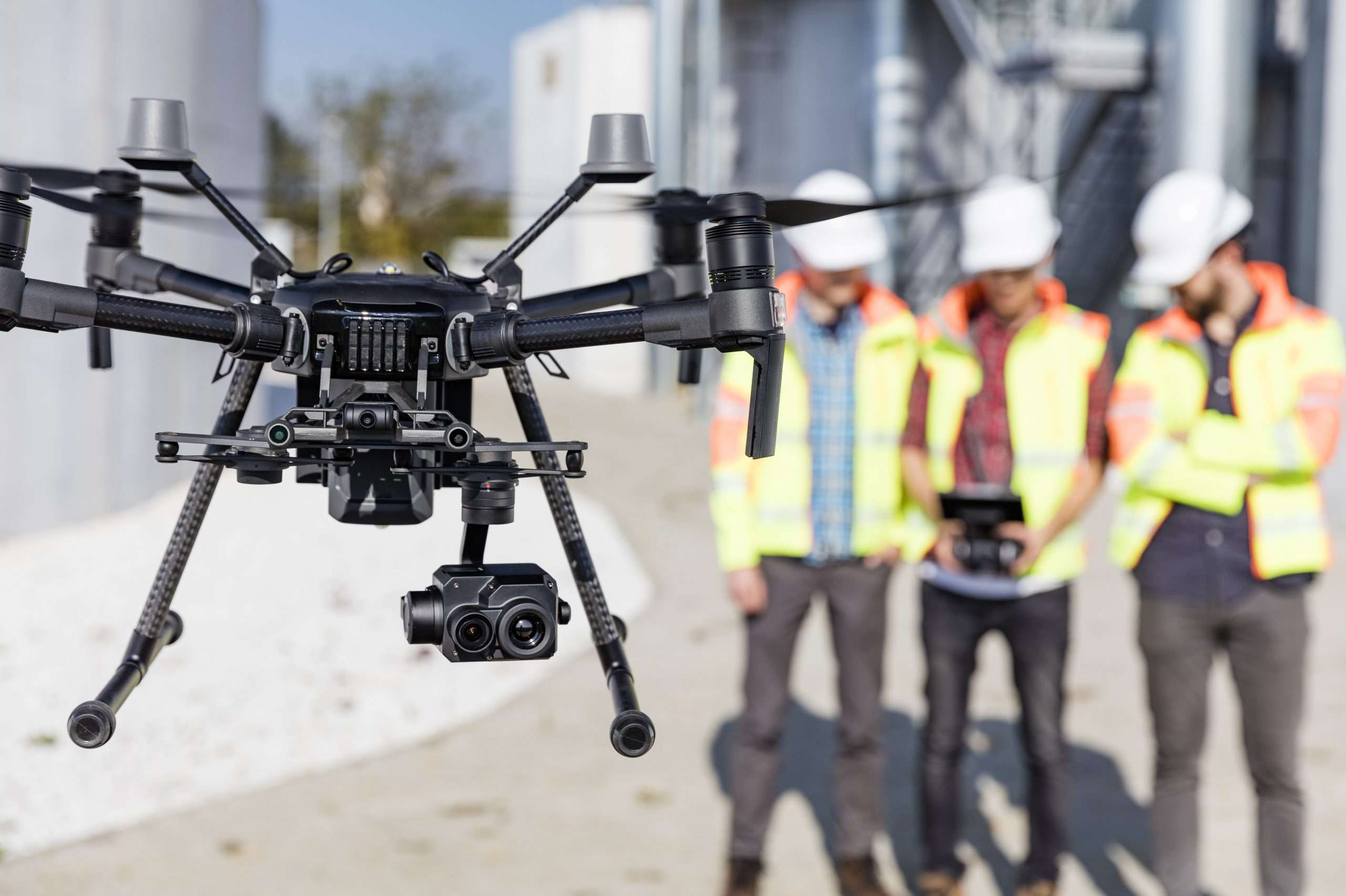
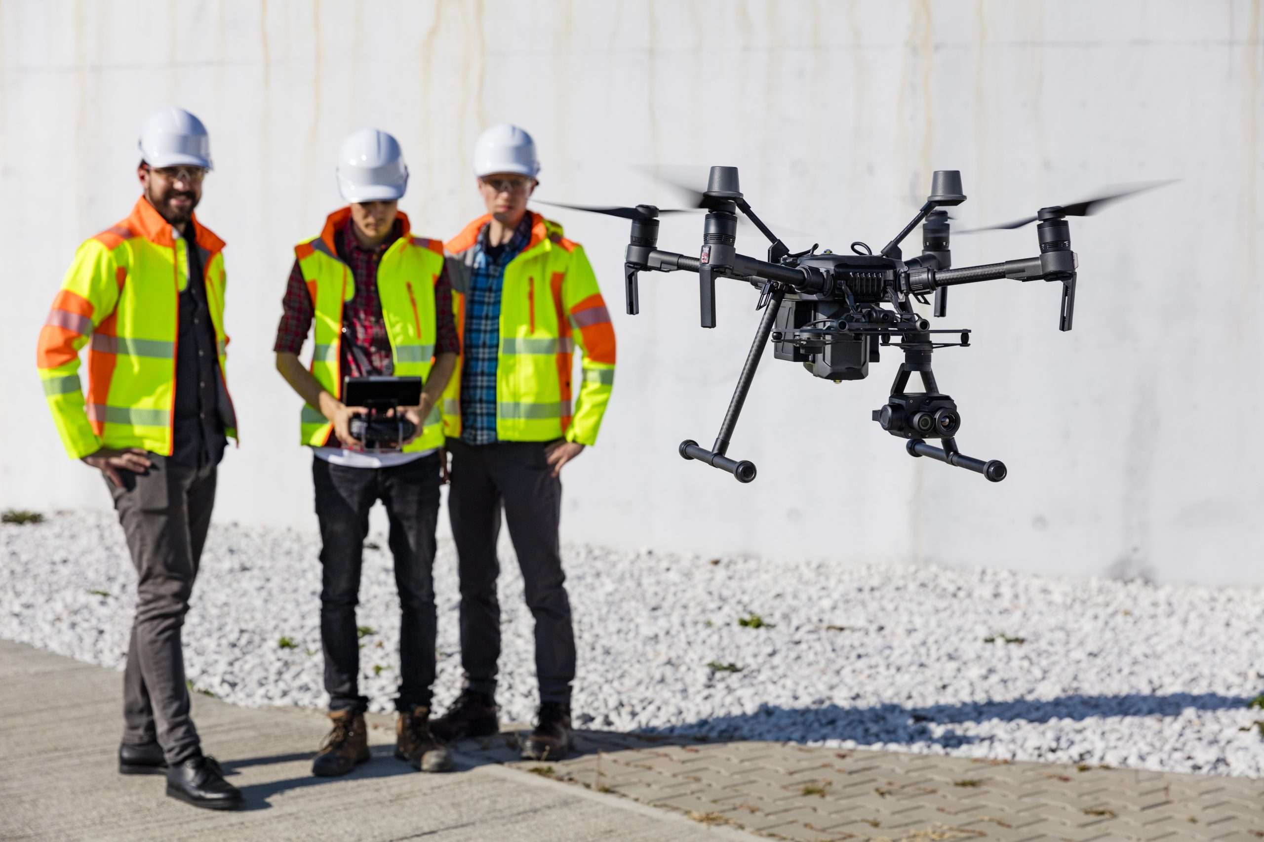
Aerial Construction and Building Services
Stockpile level reporting, progress reports for stakeholders, maintenance inspections… Just a few tasks that we can do quicker, more accurately all whilst reducing your exposure to risk.
Aerial Sensing in Agriculture
What if I told you there was a way to better deliver the accurate data needed to maximise your yield, accelerate your selective breeding process, spot the early onset of pests and disease and reduce your chemical/spraying costs? Well there is a way..
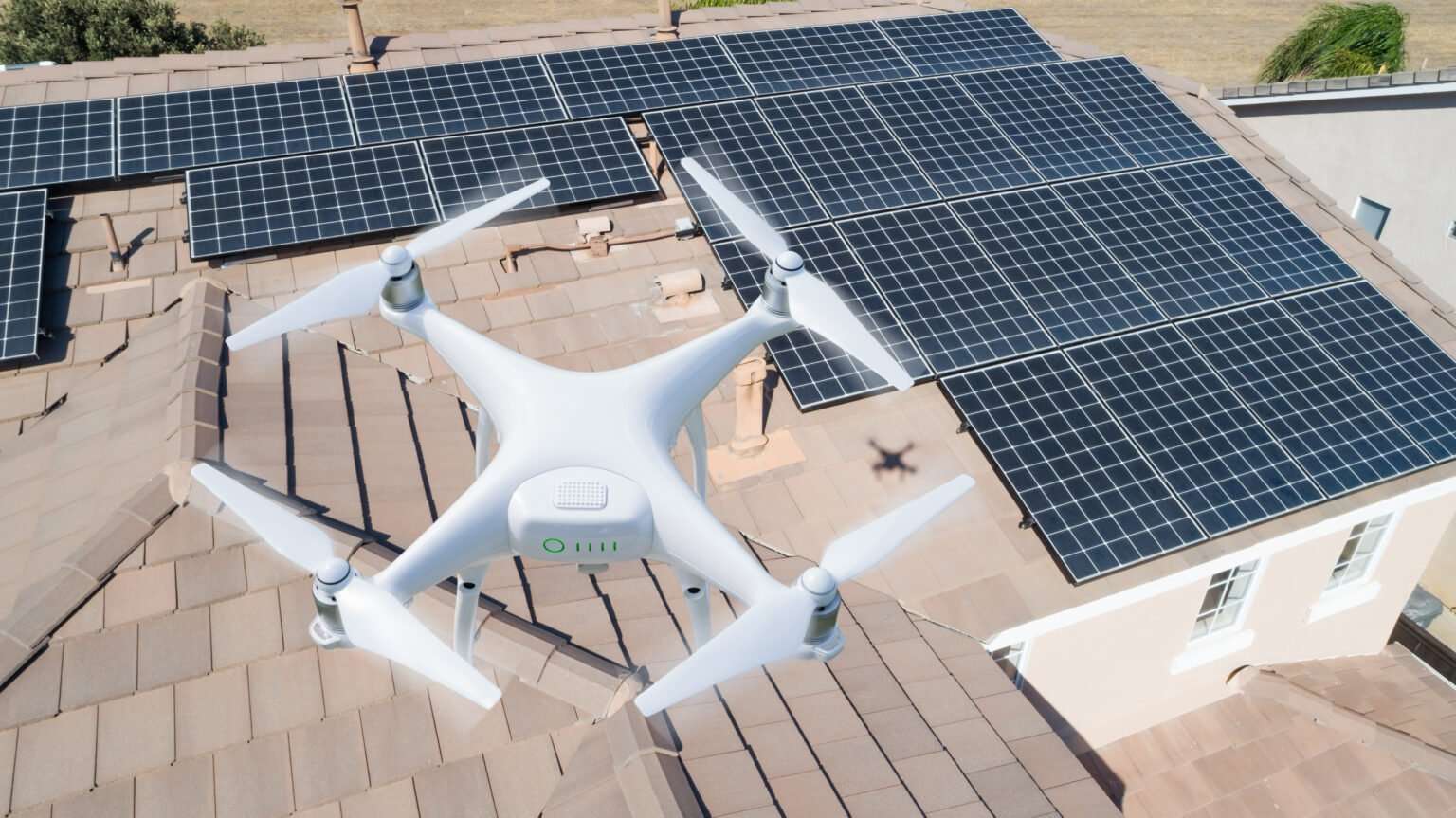
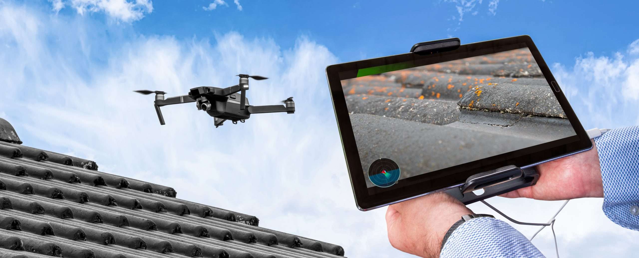
Solar and Roofing Inspections
Is your solar system not producing energy or hot water the way it use to? When was the last time you climbed up on to the roof, a potentially dangerous hazard that can easily be avoided. How can you be sure your roof and solar panels are up to scratch?
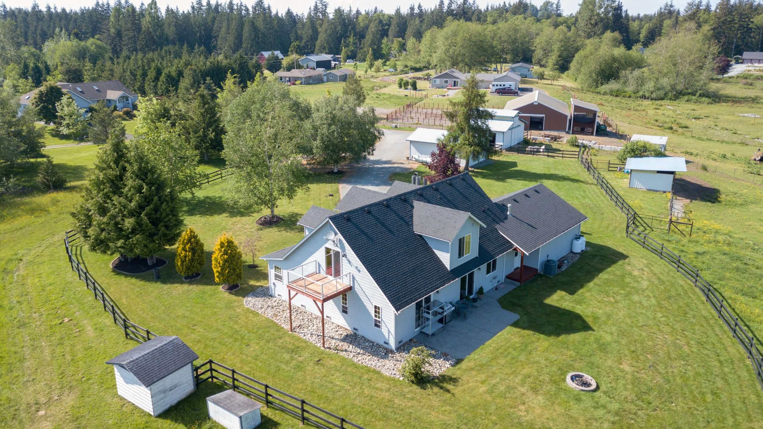
Real Estate
ATTN: All Agents and Home Owners looking to sell your property! Have you harnessed the power of aerial perspective? Does your real estate marketing plan involve aerial photography? Let us help you get more eyes on your property.