The advantages of using thermal imaging drones
Introduction
Drones are changing how we look at the world and how we do business. They can be used for everything from aerial photography and videography to search and rescue missions. Drones equipped with thermal sensors open up new possibilities for scientific research, humanitarian aid efforts and now more recently used as a non invasive means to monitor native wildlife such as the now endangered Australian koala bear
Thermal sensors
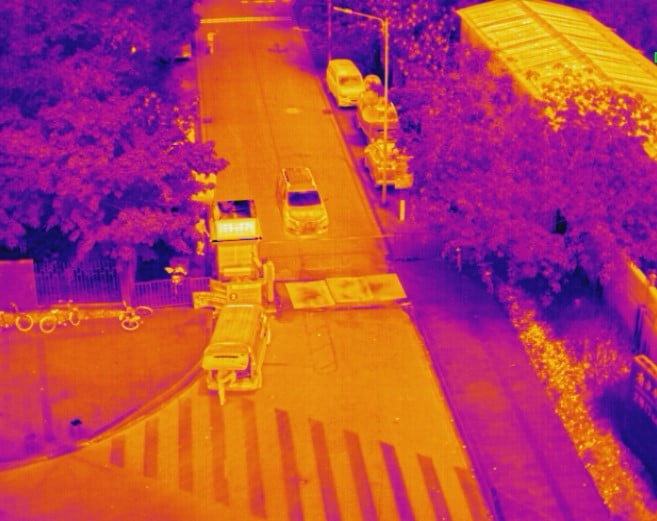
Thermal cameras are a type of camera that uses infrared light to see the heat signature of objects. This is especially useful for drones because they can see through smoke, fog and dust, which obstruct the view of a regular camera.
Thermal cameras can also be used in all weather conditions, unlike traditional imaging sensors which can be damaged by water or ice. They’re particularly useful when flying at low altitudes because they can see heat signatures through some objects.
Thermal cameras are an important tool for any drone pilot and more importantly you the client.
Thermal cameras are an important tool for any drone pilot. They can be used to detect heat sources, and therefore people, animals and objects. They can also be used to detect fires or any other hazards that may pose a threat. The thermal camera has become an essential part of many drone pilots’ flight kits as they have proven themselves to be extremely useful. Not all Remote piloted Aircraft (RPA) operators have the luxury of owning or even have access to thermal imaging, this is primarily due to cost. Thermal sensors made specifically for RPA can range from $8000 up to $30,000+ dependant on features and requirements.
Thermal imaging drones are especially useful at night.
Thermal sensors work well at night. Thermal cameras are more sensitive to lower temperatures and can therefore see more thanks to the wider range in temperature of the cool ambient environment and a warm blooded human or animal. Obviously the same can not be said for solar panels. In this situation during the day either of when the sun is at its highest peak is the most optimal condition where an operator would take advantage of a thermal sensor
How does a drone know if there is a problem with solar panels
The use of thermal sensors on drones allows for better identification and detection of issues or damage with solar panels. Drones are used to provide a more thorough inspection than any other means, which can help identify problems before they become severe enough to require costly repairs or replacement. This saves both time and money when it comes to maintenance, as well as ensuring that your energy system is operating at full capacity. Our operators are trained to know what to look for, a distinct variance in normal temperature that jumps to a high temperature spike is only one indication. I must also stress that although we are not licence electricians or solar power specialist, the report and data we generate is factual and accurate so if presented to a qualified technician who has the ability to interpret the data, it becomes very difficult to argue against. Much like a CT scan or x-ray, a doctor will rely on the quality of information provided to them to make a medical decision, this is why it is imperative that as the RPA operator has a sound understanding of what to identify, and how best to obtain that high resolution accurate data as that heat spike you see in a solar panel may not be damage within the cell, it may be the main entry point from the cable leading to the
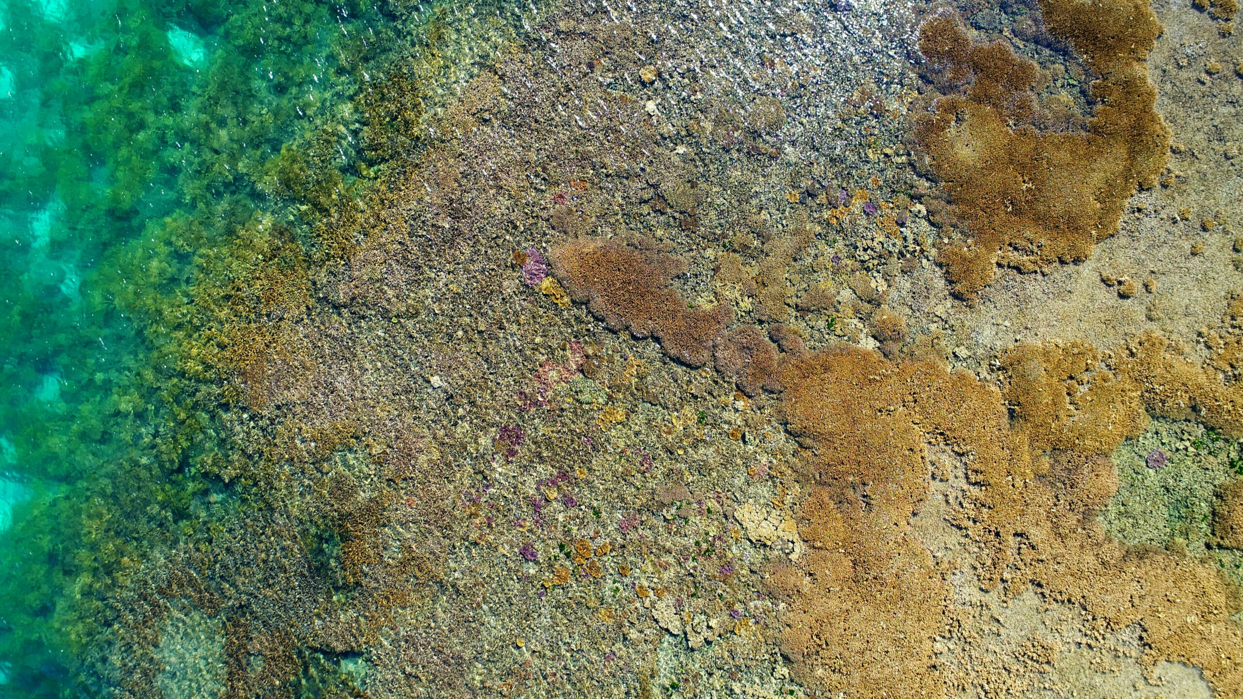
Drones are perfect for research in challenging environments.
Drones are perfect for research in challenging environments.
With their ability to fly low and slow, drones can access areas that would be difficult or impossible for manned aircraft. They can also get closer to the action/subject, allowing scientists or correlators to collect detailed data on environmental issues such as deforestation and pollution.
Drones are much cheaper than manned aircraft, meaning they can be used more frequently. This allows you to conduct more research in a shorter amount of time than if you were using traditional methods like satellites or planes.
Drones equipped with thermal sensors open up new possibilities for scientific research. Most notably the non invasive monitoring of the endangered Koala.
Thermal sensors are also useful for non-invasive monitoring of wildlife. For example, drones equipped with thermal sensors could be used to monitor the spread of disease among native species like the koala. Though these animals are highly in demand by their growing populations and their numbers have dramatically declined over the past few decades, they are difficult to track down due to limited observation opportunities and a lack of effective monitoring techniques. Thermal imaging can be combined with other technologies such as GPS tracking and radio telemetry to locate and identify individual koalas in real time without disturbing them or harming them in any way. At optimal times a koala can be located in dense bushland quick quickly without the use of any tracking devices as the reflectance value stands out so much from the surrounding bushland. Large areas are now being monitored quickly without any invasive techniques using low noise props and a high quality high resolutions thermal imaging sensor.

Conclusion
Coffs Coast Aerial Drone Services CCADS utilise both Autel Robotics 640T thermal imaging sensor as well as the DJI Zenmuse XT for all thermal imaging operations. As the demand grows for solutions of more effective and smarter ways of performing tasks and in most cases outperforming in time and cost savings. If you would like to know more about any of the above mentioned services (plus others we haven’t even touched on yet call, email, message and let us show you how.